Aerial Archeology: Uncovering Ancient Secrets from the Sky
Imagine soaring above vast landscapes, your eyes scanning the terrain below for subtle hints of long-lost civilizations. This isn't a scene from an adventure movie; it's the cutting-edge field of aerial archeology. By harnessing advanced technology and a bird's-eye perspective, researchers are revolutionizing our understanding of human history, uncovering hidden structures and patterns that have remained invisible for millennia.

As aviation technology advanced, so did the field of aerial archeology. The advent of aerial photography during World War I provided archaeologists with a powerful new tool. Post-war surplus aircraft and cameras allowed for more systematic surveys, leading to groundbreaking discoveries across Europe and the Middle East.
Modern Technologies Revolutionizing the Field
Today, aerial archeologists have an arsenal of cutting-edge technologies at their disposal. LiDAR (Light Detection and Ranging) has been particularly transformative. This laser-based system can penetrate dense vegetation, revealing hidden structures and landforms with unprecedented clarity.
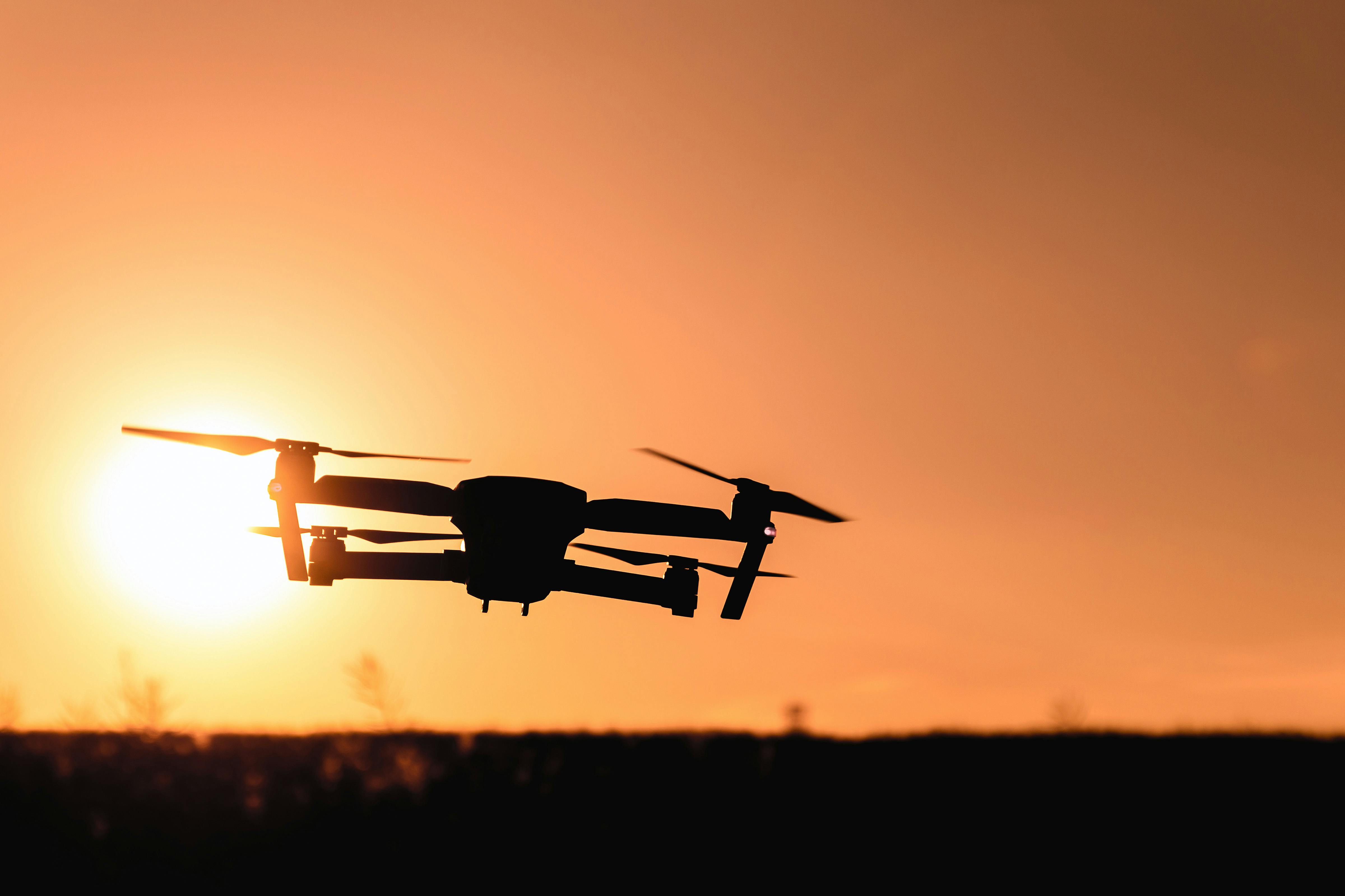
Drones have also become indispensable tools, allowing researchers to conduct high-resolution surveys of sites that were previously inaccessible or too costly to explore. Equipped with multispectral cameras, these unmanned aerial vehicles can detect subtle variations in vegetation and soil composition, often indicating the presence of buried artifacts or structures.
Satellite imagery, once the domain of government agencies, is now widely available to researchers. Advanced algorithms can analyze vast swaths of terrain, identifying potential archaeological sites based on specific patterns and anomalies.
Uncovering Lost Worlds
The impact of aerial archeology on our understanding of human history has been profound. In Cambodia, LiDAR surveys have revealed the true extent of the ancient Khmer Empire, mapping vast cities and intricate water management systems hidden beneath the jungle canopy.
In the Middle East, satellite imagery has uncovered thousands of previously unknown archaeological sites, from prehistoric stone circles to Roman-era fortresses. These discoveries are rewriting the history of human settlement and interaction in the region.
Even in heavily studied areas like Europe, aerial techniques continue to yield surprises. In England, drought conditions in 2018 revealed hundreds of previously unknown archaeological sites, including Neolithic monuments and medieval settlements, visible as crop marks from the air.
Challenges and Ethical Considerations
While aerial archeology offers tremendous potential, it also presents unique challenges. Interpreting data requires specialized skills and can be subject to misinterpretation. There’s also the risk of site looting, as high-resolution imagery can inadvertently reveal the locations of valuable artifacts to treasure hunters.
Ethical concerns arise when surveying culturally sensitive areas or sites sacred to indigenous peoples. Researchers must balance the pursuit of knowledge with respect for cultural heritage and local communities.
The Future of Aerial Archeology
As technology continues to advance, the future of aerial archeology looks promising. Machine learning algorithms are being developed to automatically detect and classify archaeological features in satellite imagery, potentially uncovering countless new sites.
Virtual and augmented reality technologies offer new ways to visualize and interact with aerial data, allowing researchers to immerse themselves in ancient landscapes and structures.
Climate change, while posing significant threats to archaeological sites, is also revealing new discoveries as melting ice and shifting sands uncover long-hidden remains.
Elevating Your Archaeological Adventure
-
Consider joining a field school or volunteer program that incorporates aerial archaeology techniques.
-
Explore open-access archaeological databases that feature aerial imagery and LiDAR data.
-
Visit museums showcasing discoveries made through aerial archaeology for a tangible connection to this innovative field.
-
Attend public lectures or webinars by aerial archaeologists to stay updated on the latest findings and technologies.
-
Support conservation efforts for archaeological sites identified through aerial surveys.
Aerial archeology represents a thrilling convergence of cutting-edge technology and ancient history. By offering a new perspective on our past, it not only enriches our understanding of human civilization but also reminds us of the enduring human spirit of exploration and discovery. As we continue to push the boundaries of what’s possible from the sky, who knows what ancient secrets we’ll uncover next?


